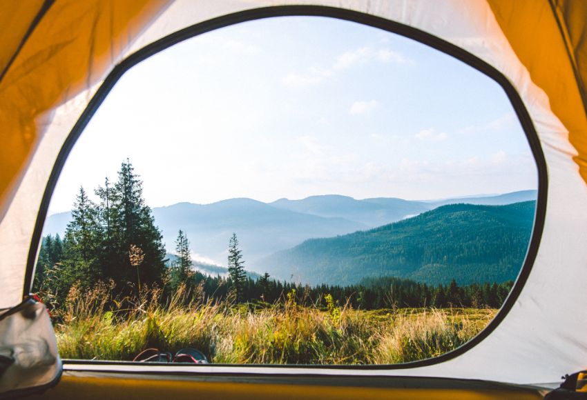
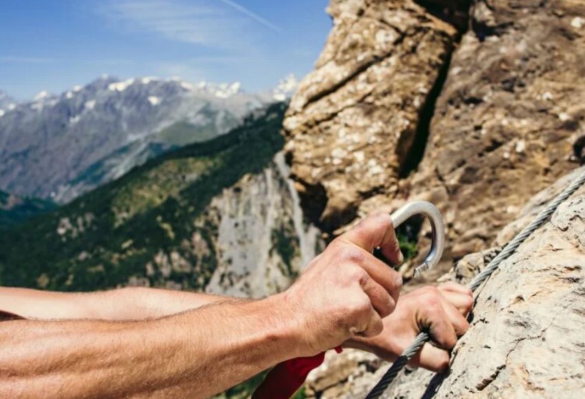
The basics of mountain meteorology for anyone who doesn't want to be surprised by a storm.
In the mountains you can feel like the ruler of the world – but half an hour of bad weather and you are soaked, frozen, lost… and very humble.
Don't underestimate the sky
Weather in the mountains is not just about an umbrella in your backpack. Knowing the weather is a skill that everyone who goes to the mountains should master.
This article will show you:
- how the weather in the mountains changes and why,
-
how to read the sky, clouds, wind and pressure ,
-
which signals an approaching storm or fog ,
-
and what equipment and decisions can save your trip (or even your neck) .
How the weather works in the mountains – briefly but importantly
Quick changes
In cities, the weather changes within hours. In the mountains, within minutes. The mountains themselves create a microclimate – rising warm air, shadows, flowing clouds.
Temperature decreases with altitude
Generally speaking: -0.6°C for every 100 meters of elevation . So if it's 20°C in the valley, it might be 8°C on the ridge at 2,000 m – and windy on top of that.
Mountains "trap" moisture
Air that hits mountains rises, cools and condenses → clouds, precipitation, fog . It can be beautiful on one side of the mountain, and pouring rain on the other.
Learn to read the sky – you can learn more from the clouds than you think 
🌤 Cirry/Cirrus (high fine clouds)
- White "hair" high in the sky
-
They mean a change in weather within 24 hours
- Often a harbinger of a queue
☁️ Cirrocumulus (Cc)
- High-lying, tiny white "lambs"
- They form when humidity is high in the upper layers
-
They do not cause precipitation , but are an indicator of weather change.
- In combination with other clouds, they can be a harbinger of thunderstorms during the day.
⛅️ Altocumulus (lambs)
- White or gray clumps, usually in groups
-
In the heat they signal a thunderstorm during the afternoon
☁️ Cumulus (Cu)
- Typical white "hilly" clouds with a flat base
- If they are low, they do not signal risk
- However, they can grow into thunderstorm cumulonimbus (Cb)
- Morning Cu = ideal. Afternoon massive? Watch the development. Time to decide.
☁️ Altostratus (As)
- A gray or blue-gray veil covering a large portion of the sky
- The sun is only visible through it as a blurry spot
-
Means sustained precipitation is coming – within 6–12 hours
- Usually accompanies warm fronts → prepare for rain and a drop in temperatures.
🌫 Stratus / fog
- Low gray clouds
-
Comes with moisture, impairs visibility , sticks in valleys and on ridges
⛈ Cumulonimbus (storm clouds)
- Giant, dark, towering
- Heavy rainfall, thunderstorms, wind, hail
-
If you see it growing, don't wait - step back!

TIP: Learn to recognize clouds from real photos – on the internet or in apps like "PeakFinder" or "Cloud Guide".
How to recognize an approaching storm
Thunderstorm signals:
-
Rapid increase in wind
-
The cloud cover is increasing and darkening.
- Rumbling in the distance
-
Clouds have vertical growth (upward)
What to do:
-
Descend from the ridge , avoiding open areas and peaks
-
Do not enter the water , do not hide under lonely trees
-
Sit on the backpack with your feet together, isolate yourself from the ground
You count the seconds from lightning to thunder. Every 3 seconds = 1 km distance of the storm.

Fog and low visibility
Fog is the most insidious element in the mountains – it doesn't hurt, but it confuses . Just 50 meters of visibility and even a marked trail becomes a maze.
What to do:
-
Slow down immediately and check the route on the map.
-
Use landmarks, GPS, poles to help you
-
In the worst case, it's better to wait than to wander aimlessly.
- Keep your direction with a compass - even a mobile app with an offline map is enough.
Wind – an underestimated opponent
What causes:
-
Reduces the perceived temperature
- It worsens stability
- It carries moisture → higher risk of hypothermia
With a wind speed of 50 km/h and 5 °C, the perceived temperature can be around -5 °C. And it is precisely such conditions that lead to exhaustion, mistakes and hypothermia.
How to (not) rely on the forecast
Yes, we have apps. Yes, they're great. But:
-
Official mountain forecasts (e.g. aladin, yr.no, windyty)
-
Windy – ideal for wind and precipitation
-
Meteoblue – detailed temperatures at different altitudes
Don't expect minute-by-minute accuracy. Learn to read trends and combine them with what you see in the sky.
Equipment that will save your trip (or at least your drought)
|
Thing
|
Why have it?
|
|
Lightweight raincoat/poncho
|
even for a short trip, weighs <200 g
|
|
Backup thermal shirt
|
in case of getting wet or cold
|
|
Headlamp with extra battery
|
when fog or rain slows you down
|
|
Shoe covers
|
mud, snow, wet grass
|
|
Aluminum foil or emergency blanket
|
in an emergency, insulates or protects from the wind
|
|
Offline map + compass
|
when technology fails
|
Ten rules for smarter decision-making
- Never just go by the application.
- Pay attention to changes in pressure, wind, and clouds.
- It's better to return on time than to continue "at risk".
- During a thunderstorm: down from the ridge, away from the trees.
- You can handle being soaked – but not soaked and lost.
- Check the weather from multiple sources before heading out.
- Consider fog as an SOS condition, not as "a little harder to see".
- Watch the sky every hour and compare it to the map.
- Always tell someone where you are going.
- Respect the mountains – you have no contract with them.

The weather will never surprise you if you pay attention.
Learning to read the sky, listen to the wind, and feel the pressure in your head and backpack isn't esoteric. It's a skill that separates the chaotic hiker from the conscious adventurer .
Every experienced mountaineer will tell you:
"I'm not the one who never gets wet. I'm the one who knows when it's time to turn it around."
[/lock]

Odemkni celý Adventurer magazín.
Všechny články, návody, rozhovory, aktuality i příběhy ze světa outdooru bez omezení. Součástí je i premium verze aplikace Adventurer, která slouží pro plánování outdoorových výletů. Najdeš zde tisíce tras a výšlapů. Odemkni si dveře do nekonečného světa dobrodružství.
Přístup ke všem článkům z našeho online magazínu
Prémiový obsah z podcastů s ikonami ze světa outdooru a minidokumentů z výprav
Získáš slevy až 30 % na vybavení a jídla od našich partnerů
Nahrávání tras & GPS nástroje s grafem převýšení
Můžeš si do apky přidávat vlastní trasy a organizovat výlety
Rezervace ubytování a cestovní pojištění
Navigace bez datového připojení - offline mapy
Budeš mít k dispozici databázi vícedenních výletů a itinerářů
Dostaneš přístup k alternativním trasám
Export GPX - nahraj si trasy do hodinek a šetři baterku
Odemkne se ti více druhů map a překryvy map s aktuálním počasím
Aplikace bez reklam - cestuj a plánuj nerušeně


Leave a comment
All comments are moderated before being published.
This site is protected by hCaptcha and the hCaptcha Privacy Policy and Terms of Service apply.